
For Managers
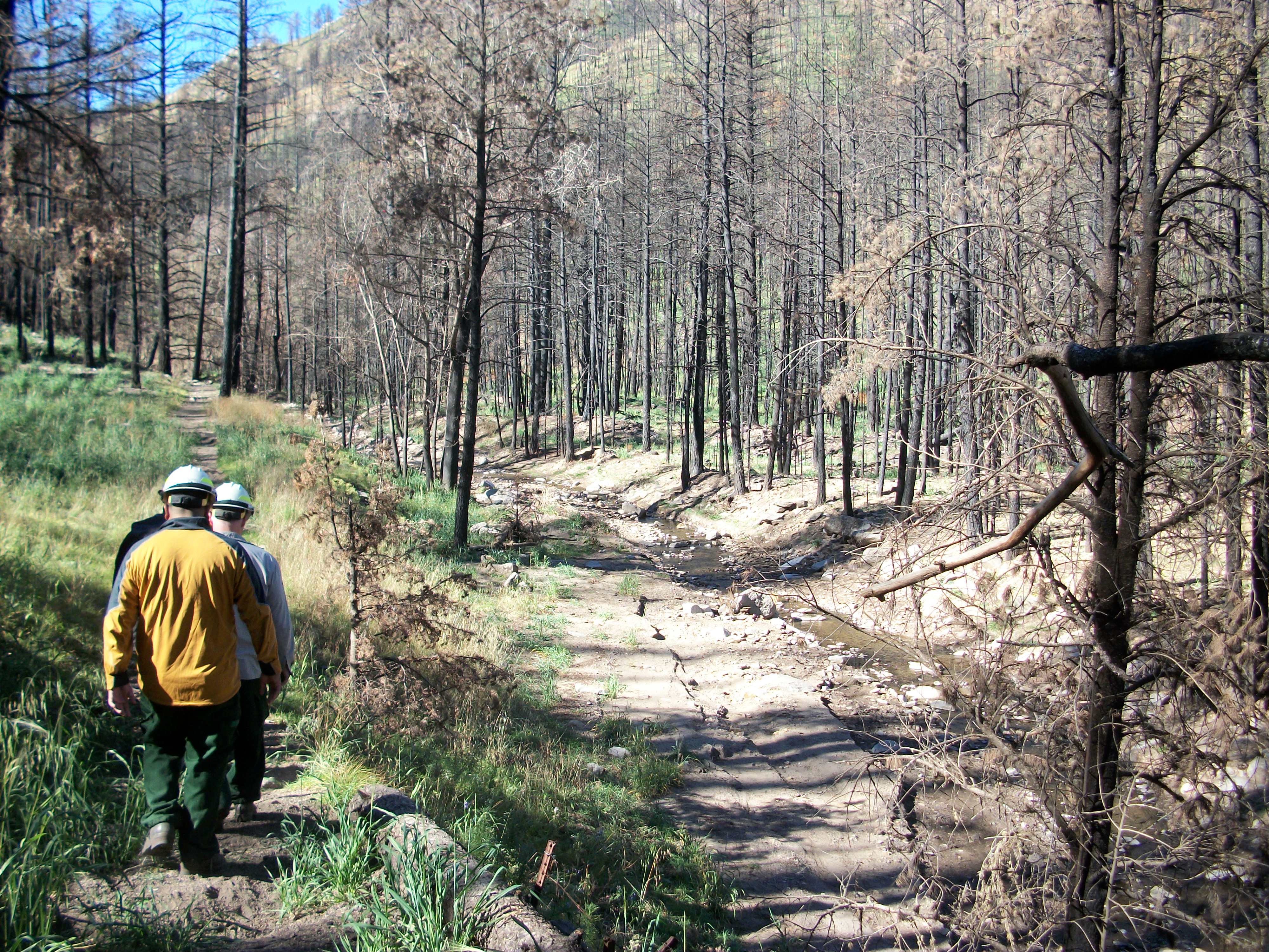
Resource managers examine post-fire effects within a stream
channel after the Little Bear Fire on the Lincoln National Forest, New Mexico.
- How to Measure Risk
One example of an especially effective method for mitigating post-fire threats are Burned Area Emergency Response (BAER) teams that operate on federally owned lands. BAER assessment procedures require identification and quantification of values-at-risk (VAR) from the secondary effects of wildfire including flooding and erosion (see BAER or Library]. Values-at-risk are defined as the values or resources under threat of damage or loss. For example, a post-fire hazard may be soil erosion and the VAR threatened would include life and safety, water quality, culverts and road systems.
Information Needed to Measure Risk
Threats to VAR can be quantified and mapped using spatial data and geographic information systems (GIS). This process requires the following information:
- Map of burn severity
- Map of Values-at-Risk (i.e., road to a remote community)
- Map of Threats (i.e., dead tree snags along road corridor)
- Estimates of the cost to repair, replace, or restore and/or the value of VAR
- Estimates of the probability of a threat occurring with and without treatment
- Map of VAR and threat associations
- Treatment recommendations and their costs
The results of this process include a map summarizing all VAR-threat associations in the burned area, treatment recommendations, and justification for treatment. For more information, see Assessing Post-Fire Values-at-Risk With a New Calculation Tool
- Strategies for Management
BAER teams use various tools and computer models to estimate post-fire increases in runoff and sediment. The starting point for many management strategies is creating soil and vegetation burn severity maps that identify areas of concern and prioritize response. These maps are generated using geospatial data, commonly collected by remote sensing, and ground truth information. Many managers use hydrologic and erosion models adapted and developed for burned landscapes to determine flooding and erosion risks. Post-fire treatment decisions are also made using certain calculations focused on the appropriateness, cost, and effectiveness of different treatments. A spreadsheet calculation tool developed to assess post-fire VAR in connection with treatment decisions is used by many BAER teams to select and justify treatments. Many of these tools are available in web-based formats and are in the public domain, allowing for their use by land managers, state and local governments, and community groups worldwide. For more information on these tools explore our sections on post-fire flood and erosion tools.